


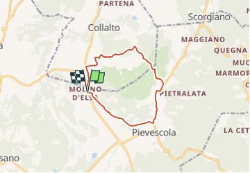

13,5 km | 15,9 km-effort

Tous les sentiers balisés d’Europe GUIDE+


Gratisgps-wandelapplicatie
 SityTrail
IGN / Geografische instituten
SityTrail World
De wereld gaat voor u open
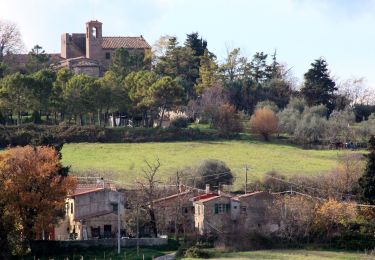
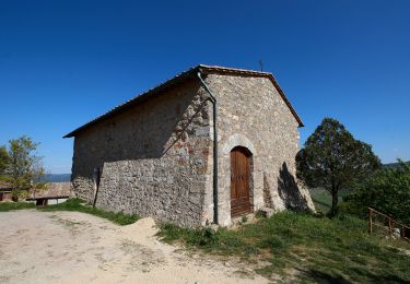
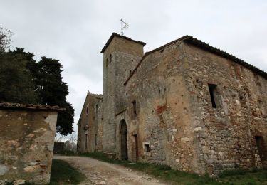
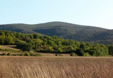
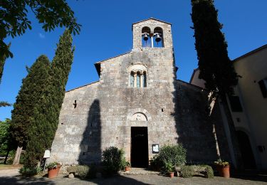
Tocht Te voet van 10,9 km beschikbaar op Toscane, Siena, Casole d'Elsa. Deze tocht wordt voorgesteld door SityTrail - itinéraires balisés pédestres.
Trail created by Comune di Casole d'Elsa.


Te voet
Te voet
Te voet
Te voet

Te voet
Une véritable catastrophe ! Rando indiquée comme balisée, mais en réalité ne l'est que sur un tiers du parcours, à mi-chemin, on se retrouve bloqués devant une propriété privée fermée, ce qui nous force à faire un détour de 4km. Puis on finit la rando sur une nationale hyper fréquentée (parcours recommandé sur le circuit que nous avons téléchargé). Bref, une piètre expérience !